


KISTERSNOL 36
Nederland, Zeeland
109 Log Reports
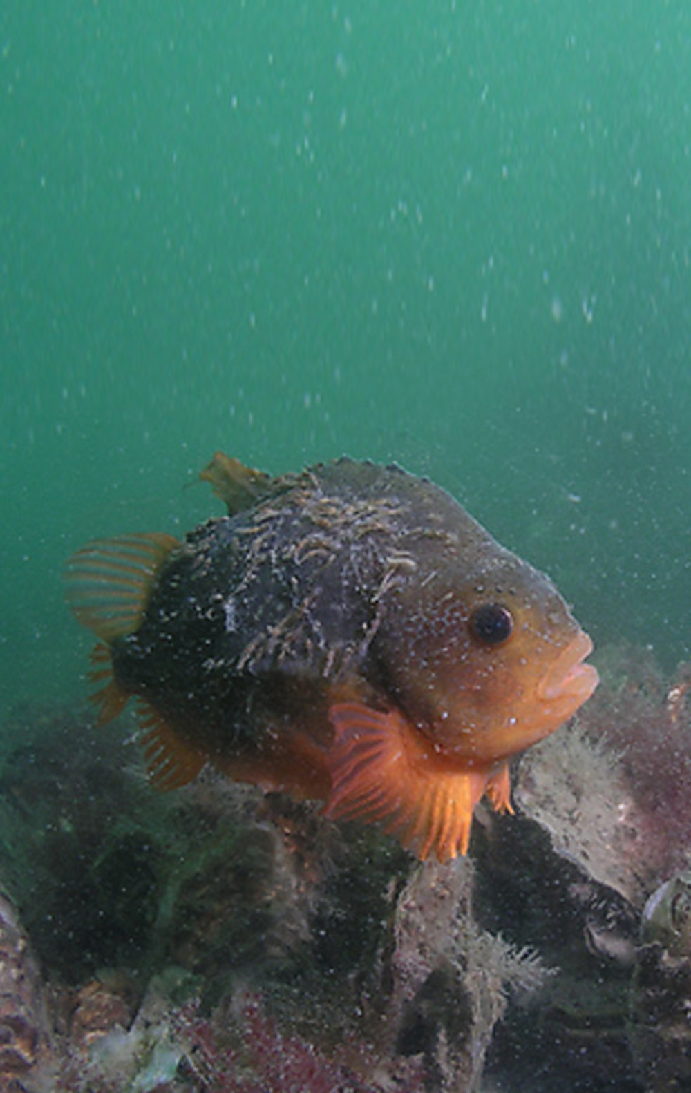
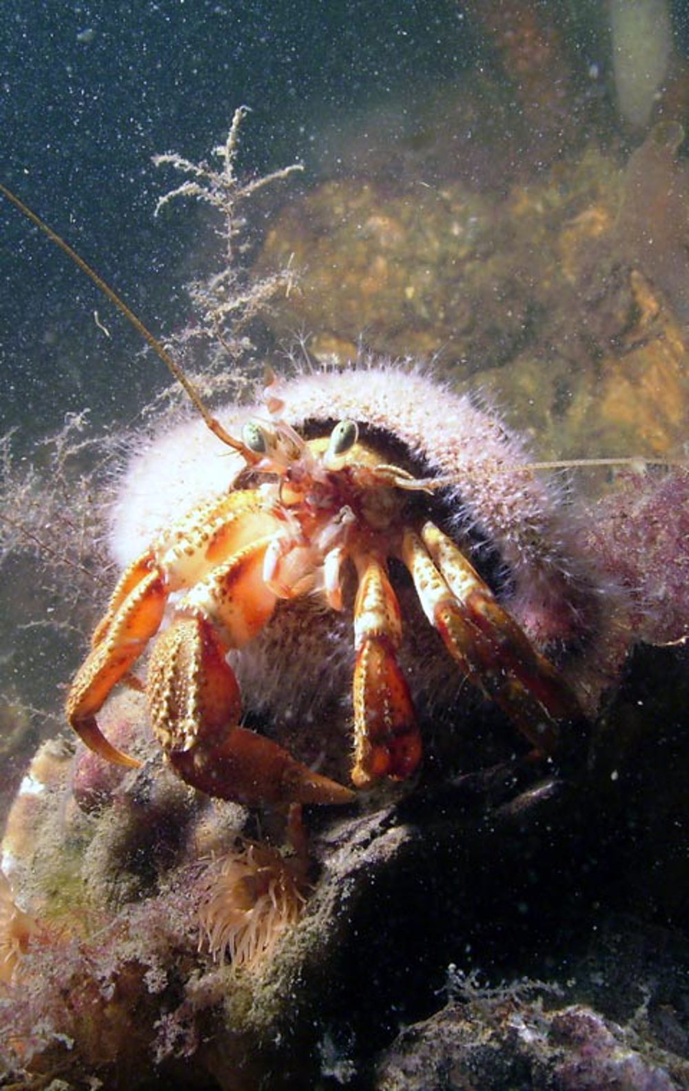
Kistersnol is een remote dive site with a bottom consisting of living oysters. They cover the bottom in large oysterbanks, attracting all kinds of other marine life such as shrimps, lobsters, crabs, wrasses and nudibranches. Kistersnol has also a large number of overgrown rocks. These are remnants of the flooded village of Borrendamme.
Particulars
You can enter the water at Kistersnol via a rope. A boat dive is recommended because of the long walking distance.
Warnings
Kistersnol is a fish and shellfish plot. Dive is not allowed when fishing. Tide can be short. Minimal visibility in westerly winds, stronger than wind force 4.
KISTERSNOL Divemaps 1
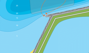 Members only
- Divers Guide Map
- Detailed map
- Wreck map
- Local map
Distribution is illegal
KISTERSNOL Features
- Nicknames
- Borrendamme
- Address
- Boerenweg, Zierikzee
- Parking
- sufficient parking
- Distance
- 400 m.
- Suitable for
- no groups, experienced divers
- Permit
- N.v.t.
- Access
- free access
- Facilities
- none
- Water
- salt
- Tide
- LW en HW
- Kind of dive
- shore dive
- Current
- strong
- Visibility
- 1 – 12 m.
- Average visibility
- 3 m.
- Depth
- 25 m.
- Bottom
- stones and oysters, sand
- Life
- flathead grey mullet or striped mullet, common hermit crab, wrasse, nudibranch, oyster, eel, lumpfish, weed, beach crab, flutefish, pouting, lobster, skeleton shrimp, anemone, shrimp
- Other recreation
- sandy beach
- Emergency
- 112
KISTERSNOL Photos and Images
:
:
Tide planner
 Members only
Current weather conditions
Wind :
Condition :
Temperature : °C
Powered by World Weather Online
Spots nearby
 Pikgat (0,88km)
 Lokkersnol (0,99km)
 Levensstrijd (1,76km)
 Havenhoofd west (2,62km)
 Flauwers heerenkeet (3,18km)
 Kulkenol (3,20km)
 Flauwers west (3,35km)
 Halverwege (3,60km)
 Zeelandbrug (3,72km)
 Zeelandbrug pijler 2 (3,79km)
 Stalleke (3,88km)
 Oude kademuur (3,99km)
Shops nearby
CAFE REST. DE HEERENKEET Distance: 2,99km VULAUTOMAAT ZEELANDBRUG Distance: 3,72km CAMPING ZIERIKZEE Distance: 3,90km DIVING DUUVELAND Distance: 7,73km DUIKCENTRUM WATERWORLD Distance: 8,39km
DIVESTORE DE GREVELINGEN
Distance: 8,87km
BAR PETIT RESTAURANT 'T OLIEGEULTJE
Distance: 9,05km
EVEN PAUSE
Distance: 9,47km
M&M Diving Technology
Distance: 10,73km
SEALAND DIVING
Distance: 11,33km
Read more


