DE KUILEN MILL
Nederland, Noord Brabant
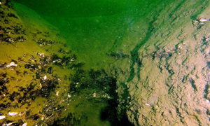
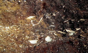
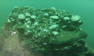
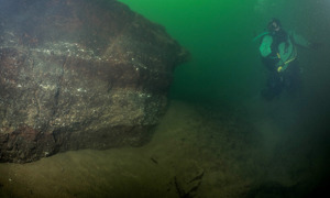
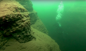
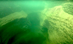
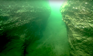
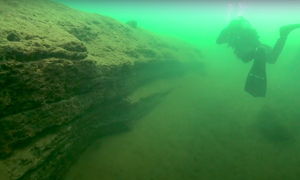
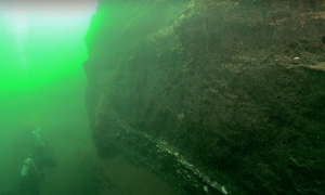
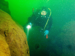
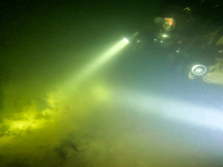
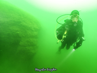
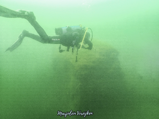
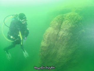
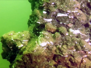
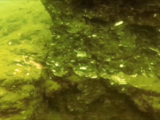
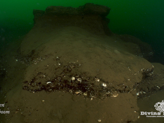
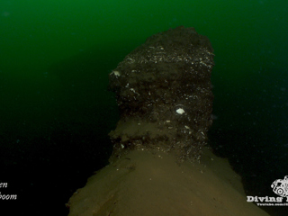
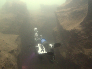
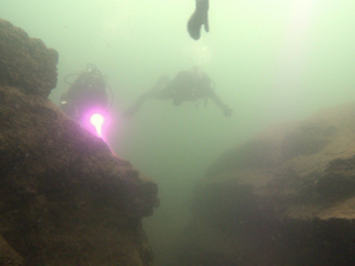
De Kuilen Mill is a fascinating dive site with varied visibility. If visibility is good you'll make one of your best dives in this region. Interesting are the historical bottom layers in the south-eastern part of the site. They are part of a fossil seabed which extends to different depths across the bottom. The layer is between 8 and 50 centimeters high and contains ancient shells and fossils of whales and sperm whales. However, caution is required. The walls are unstable and they can collapse if you dig into the bottom.
Particulars
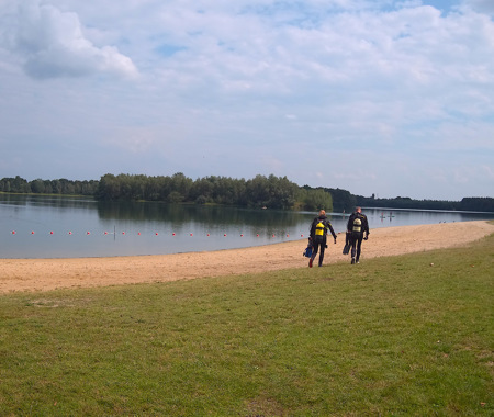
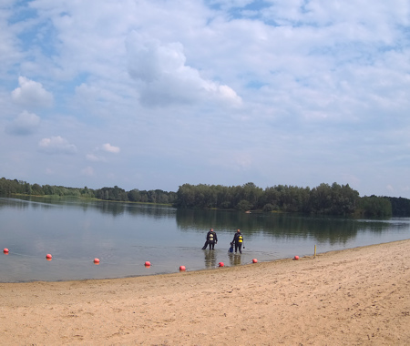
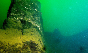
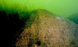
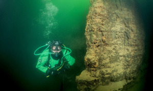
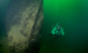
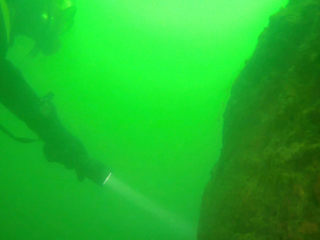
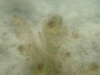
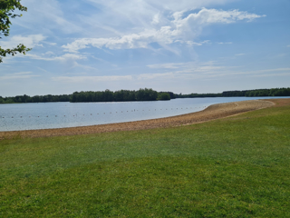
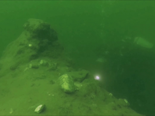
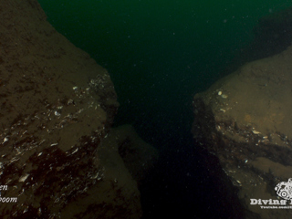
Enter De Kuilen Mill from the beach. Swim out for 50 meters and hold on to a course of 90 degrees. The plant-rich bottom will slowly change into a sediment layer, followed by an imposing area of canyons, blocks and gorges. Look for fossil remains from ancient times as you inspect the earth layers. The prehistoric layer is recognizable by the abundance of triangle mussels, small shells and tubular shapes.
Warnings
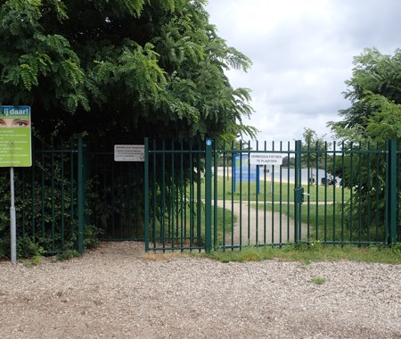
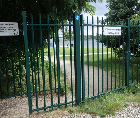
Watch out for surfers in De Kuilen Mill. Beware of unstable walls, especially when you are digging for objects. Motorized vehicles prohibited.
DE KUILEN MILL Divemaps 1
- Divers Guide Map
- Detailed map
- Wreck map
- Local map
Distribution is illegal
DE KUILEN MILL Features
- Nicknames
- De Kuilen,Mill,Botjesgat,Langenboom
- Address
- Fazantenweg, Langenboom, Mill
- Parking
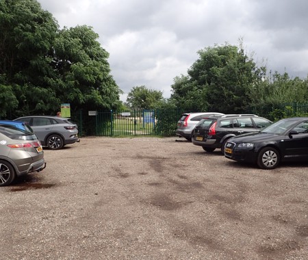
- Sufficient parking
- Distance
- 50 m.
- Suitable for
- All levels
- Permit
- N.v.t. / NA
- Access
- Free access
- Facilities
- None
- Water
- Fresh
- Kind of dive
- Shore dive
- Current
- None
- Visibility
- 0,1 - 5 m.
- Average visibility
- 2 m.
- Depth
- 35 m.
- Bottom
- zand en klei
- Life
- Carp, pike, pike-perch, roach, perch
- Other recreation
- None
- Emergency
- 112
Current weather conditions
Spots nearby
 De kuilen sea devils (0,83km)
 Kraaijenbergse plas 7 (6,60km)
 De kiekuut (6,63km)
 Kraaijenbergse plas 4 (7,54km)
 Kraaijenbergse kleibergen (7,58km)
 Witte brug overzijde (7,66km)
 Kraaijenbergse plas 8 (7,75km)
 Kraaijenbergse plas 3 (7,86km)
 Kraaijenbergse plas 9 (9,14km)
 Vormerse plas (12,05km)
 Berendonck aquavilla (12,42km)
 Radioplas (15,62km)


