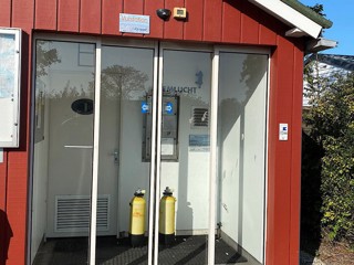
COLIJNSPLAAT OOSTNOL 55
Nederland, Zeeland
6 Log Reports
Sporty dive site
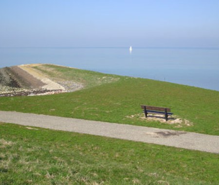
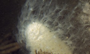
Colijnsplaat Oostnol is not renowned for its great visibility or high biodiversity. But, Colijnsplaat is a prime location to spot brittle stars and hermit crabs. Pay attention to the bottom while diving. The strange patterns on the sandy bottom are the tracks and droppings of brittle stars.
Particulars
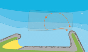
Walk away from the marina to reach the entery point. Visibility is best during high tide.
Warnings
Beware of slippery rocks while entering the water.
COLIJNSPLAAT OOSTNOL Divemaps 1
- Divers Guide Map
- Detailed map
- Wreck map
- Local map
Distribution is illegal
COLIJNSPLAAT OOSTNOL Features
- Address
- Kuupjesweg, Colijnsplaat
- Parking
- Limited parking
- Distance
- 300 m.
- Suitable for
- Advanced divers, night diving
- Permit
- N.v.t.
- Access
- Free access
- Facilities
- None
- Water
- Salt
- Tide
- HW
- Kind of dive
- Shore dive
- Current
- Strong
- Visibility
- 1 - 3 m.
- Average visibility
- 2 m.
- Depth
- 12 m.
- Bottom
- slib en klei,zand
- Life
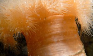
- Common hermit crab, lobster, brittle star, beach crab, starfish
- Other recreation
- Marina, boating, yachting, small beach
- Emergency
- 112
:
:
Current weather conditions
Wind :
Condition :
Temperature : °C
Powered by World Weather Online
Spots nearby
 Koningsheim (2,14km)
 Oesterputten s gravenhoek (2,71km)
 Havenhoofd west (4,64km)
 Kulkenol (4,81km)
 Katshaven noord (4,89km)
 Katshaven-zuid (5,22km)
 Levensstrijd (5,37km)
 Bootduiken zeeland (5,44km)
 Wissenkerke oostnol (5,47km)
 Halverwege (5,47km)
 Lokkersnol (5,72km)
 Zeelandbrug (5,75km)
Shops nearby
CAMPING ZIERIKZEE Distance: 8,39km DIVING DUUVELAND Distance: 10,26km DUIKCENTRUM WATERWORLD Distance: 12,15km DUIKCENTRUM DE GREVELINGEN Distance: 14,08km CAMPING LINDA Distance: 15,36km
PERSLUCHT DEN OSSE
Distance: 15,55km
SEALAND DIVING
Distance: 16,97km
VULSTATION GORISHOEK-DE PUNT
Distance: 18,49km
SUB OCEAN B.V.
Distance: 25,19km
VULSTATION DEEHOEVE
Distance: 25,34km
Read more


