KISTERSNOL 36
Nederland, Zeeland
32 Log Reports
Challenging dive site
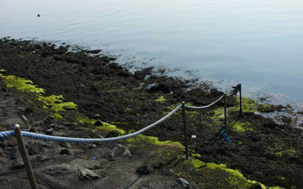
Kistersnol is een remote dive site with a bottom consisting of living oysters. They cover the bottom in large oysterbanks, attracting all kinds of other marine life such as shrimps, lobsters, crabs, wrasses and nudibranches. Kistersnol has also a large number of overgrown rocks. These are remnants of the flooded village of Borrendamme.
Particulars
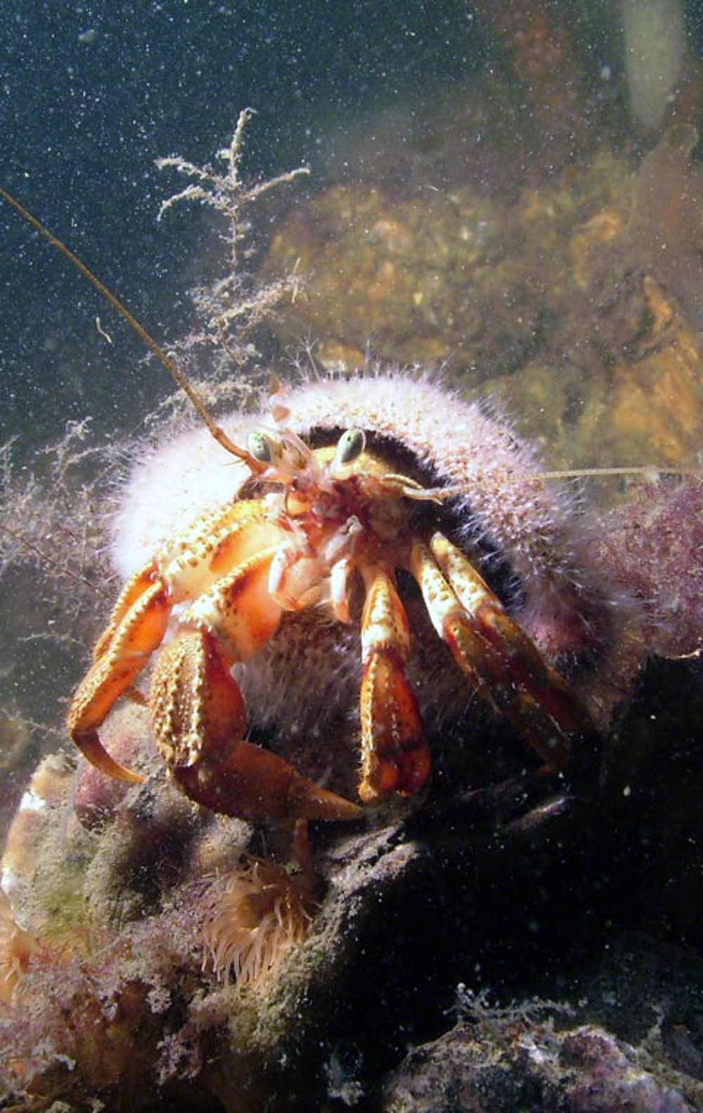
You'll mainly see crabs and lobsters.
Warnings
Professional fishing ground. No diving while fishermen are active. Reversal can be short.
KISTERSNOL Divemaps 1
 Members only
- Divers Guide Map
- Detailed map
- Wreck map
- Local map
Distribution is illegal
KISTERSNOL Features
- Nicknames
- Borrendamme
- Address
- Boerenweg, Zierikzee
- Parking
- Sufficient parking
- Distance
- 400 m.
- Suitable for
- Experienced divers, no groups
- Permit
- N.v.t.
- Access
- Free access
- Facilities
- None
- Water
- Salt
- Tide
- LW en HW
- Kind of dive
- Shore dive
- Current
- Strong
- Visibility
- 1 – 12 m.
- Average visibility
- 3 m.
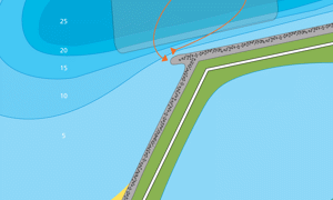
- Depth
- 25 m.
- Bottom
- stenen en oesters,zand
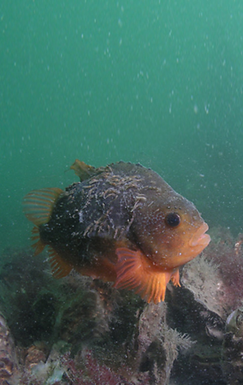
- Life
- Anemone, shrimp, flathead grey mullet or striped mullet, common hermit crab, lobster, wrasse, nudibranch, oyster, eel, lumpfish, skeleton shrimp, pouting, beach crab, weed, flutefish
- Other recreation
- Sandy beach
- Emergency
- 112
KISTERSNOL Photos and Images
:
:
Tide planner
 Members only
Current weather conditions
Wind :
Condition :
Temperature : °C
Powered by World Weather Online
Spots nearby
 Pikgat (0,88km)
 Lokkersnol (0,99km)
 Levensstrijd (1,76km)
 Havenhoofd west (2,62km)
 Flauwers heerenkeet (3,18km)
 Kulkenol (3,23km)
 Flauwers-west (3,35km)
 Halverwege (3,40km)
 Zeelandbrug (3,72km)
 Stalleke (3,88km)
 Oude kademuur (3,99km)
 Dijkmagazijn (4,20km)
Shops nearby
CAMPING ZIERIKZEE Distance: 3,90km DIVING DUUVELAND Distance: 7,73km DUIKCENTRUM WATERWORLD Distance: 8,39km DUIKCENTRUM DE GREVELINGEN Distance: 8,87km PERSLUCHT DEN OSSE Distance: 9,48km
SEALAND DIVING
Distance: 11,33km
CAMPING LINDA
Distance: 17,89km
VULSTATION GORISHOEK-DE PUNT
Distance: 19,54km
SUB OCEAN B.V.
Distance: 24,01km
VULSTATION DEEHOEVE
Distance: 24,90km
Read more
Lost something at this spot?