STAVENISSE OOSTNOL
Vandaag om 13 uur zwarte palm verloren, mer jetvin. Niet terug gevonden wegens teveel wind.
STAVENISSE OOSTNOL
1ste Sepia dit jaar op de kop van de dam zone 5-10m. Ook Harlekijn, kleine vlokslak, groene wierslakken, baby Snotolf, reuze zeeduizendpoot!
STAVENISSE OOSTNOL
 Kathy Dilny
Prachtig. Vanaf de boot gedoken. Heel veel harlekijntjes, een snotolf en een massa heel bleke groenewierslakken.
STAVENISSE OOSTNOL
Na de stevige wandeling een rustige duik. Brokkelsterren, kreeft, botervis, zeenaald, garnalen,...
STAVENISSE OOSTNOL
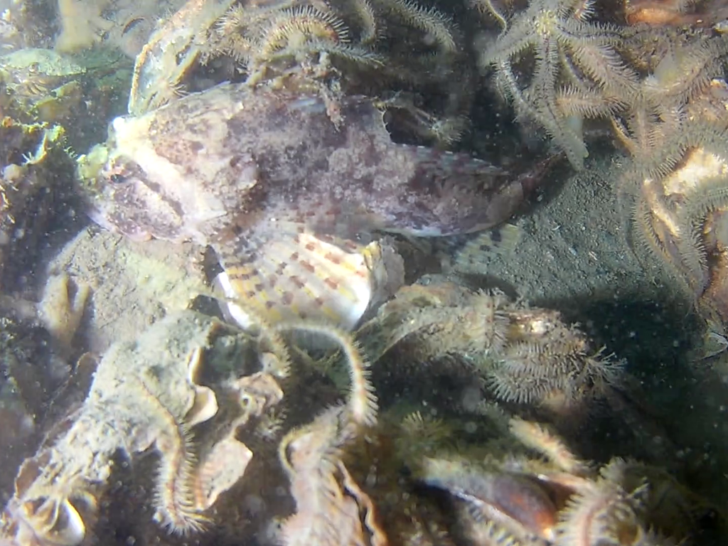
Mooie duik gemaakt op Oostnol. Wel een enorm end lopen. Goed zicht, veel kreeften en een mooie Zeedonderpad die is bijgesloten.
STAVENISSE OOSTNOL
Galathea kreeftje
STAVENISSE OOSTNOL
Zeer goed zicht en weinig stroming. Veel NZ-kreeften, school Ansjovisjes en een Pitvis.
STAVENISSE OOSTNOL
Bootduiken met de Tertius. Mooie lokatie ten oosten van steiger. 18.5m diepte. Sepia's, harlekijnslakjes, millennium wratslak, zeedonderpad.
STAVENISSE OOSTNOL
4 palingen ;)
STAVENISSE OOSTNOL
Grote kreeften, noordzeekrabben, bottervisjes, zeedonderpadden (groot)
STAVENISSE OOSTNOL
Volle parkeerplaats, beperkt zicht onder water. Galatheakreeft, kreeft, zeenaald, donderpad, plooislak, wierslak, puitaal en schepje.
STAVENISSE OOSTNOL
Duik op HW kentering, zicht wisselend, mogelijk door mosselkotter op de plaat. Enorme kreeft, paling, kokerwormen, NZ krab en donderpad 👌
STAVENISSE OOSTNOL
Grote zeedonderpad, veel botervis. Rustige mooie duik, zicht varieerde van bijna niets tot (redelijk) goed
STAVENISSE OOSTNOL
Vele wierslakken, paar grote zeenaalden, steurgarnaal. Weinig tot geen stroming
STAVENISSE OOSTNOL
Courant fort, et lame de fond, impressionnant, mise l eau difficile avec le courant, chouette moments quand même deux gros tourteaux,
.JPG)
.jpg)
.jpg)
STAVENISSE OOSTNOL 76
Nederland, Zeeland
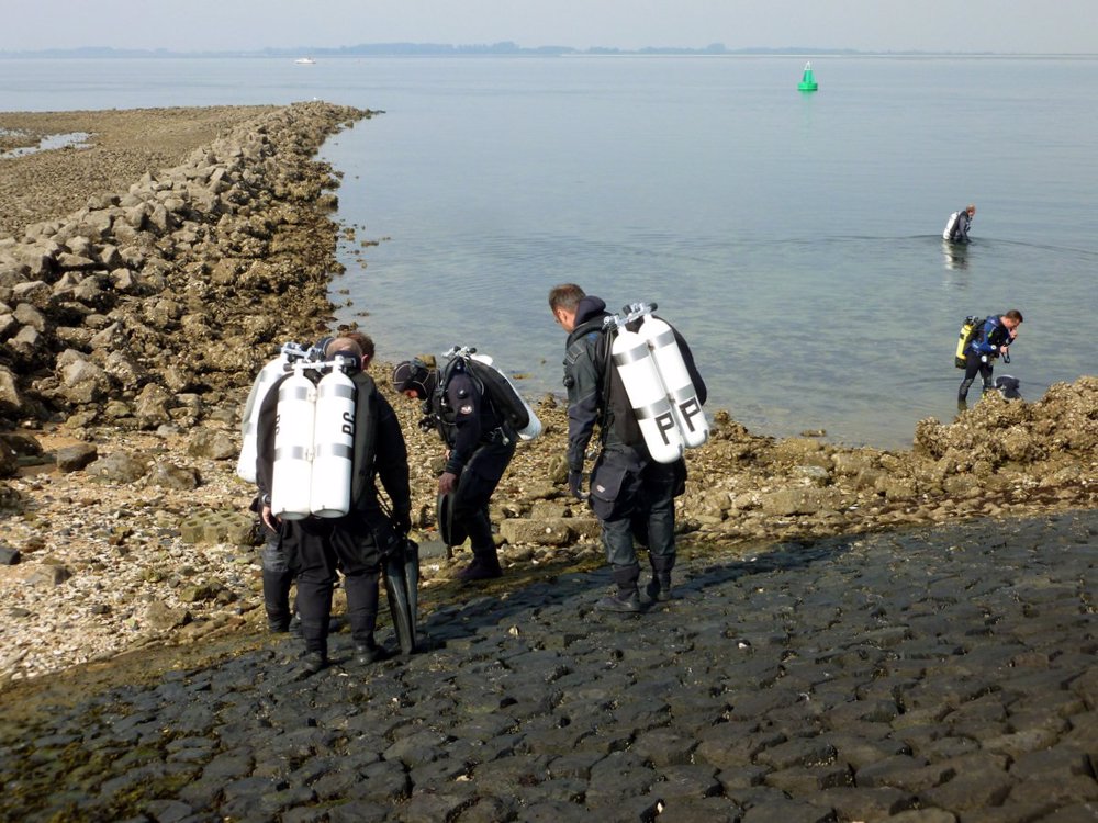
Stavenisse Oostnol is a nice dive site where in spring lumpfish can be seen. Descend along the beautifully vegetated pier. You'll end up at a sandy bottom which is overgrown with sponges, anemones and carnations. Dive at low tide.
Particulars
Follow the bicycle lane to the top of the dike, after parking your car. Then enter the water at the pier. Beware, the rocks can be slippery.
Warnings
Boating channel, don’t make free ascents. No diving with north to northwestern winds stronger than wind force 4. Entry point can be slippery. Bring a rope to enter the water safely.
STAVENISSE OOSTNOL Features
- Nicknames
- Boei Keeten 17,De Groene Ton,Den Nol,Keetenweg,Het Dammetje.
- Address
- Kruising Oudelandseweg / Keetenweg, Stavenisse
- Parking
- Sufficient parking
- Distance
- 350 m.
- Suitable for
- Experienced divers
- Permit
- N
- Access
- Free access
- Facilities
- Mobile toilet (april - oktober), picknick table
- Water
- Salt
- Tide
- LW
- Kind of dive
- Shore dive
- Current
- Very strong
- Visibility
- 1 - 4 meter.
- Average visibility
- 2 m.
- Depth
- 42 m
- Bottom
- zand,stenen
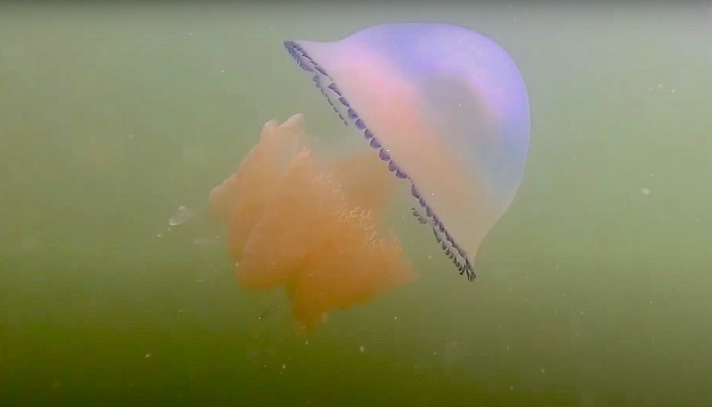
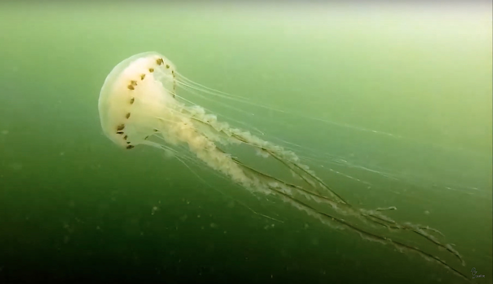
- Life
- Anemone, plumose anemone, goby, crab, lobster
- Other recreation
- Biking, boating, yachting, fishing , rambling
- Emergency
- 112
STAVENISSE OOSTNOL Photos and Images
STAVENISSE OOSTNOL Log Report Images
Tide planner
 Members only
Current weather conditions
Spots nearby
.JPG) Stavenisse haven (0,92km)
Stavenisse haven (0,92km)
 T19 steile wand (0,95km)
 Stavenisse irenehoeve (1,06km)
 Stavenisse quaak (1,37km)
 Quaak driftduik (1,42km)
 Zuidbout (4,43km)
 Zonneschijn zuiveringsinstallatie (4,81km)
 Blinde dam (5,38km)
 Noordbout (5,51km)
 Sint annaland (5,99km)
 Goudzwaard (6,22km)
Shops nearby
DIVING DUUVELAND Distance: 3,94km DUIKCENTRUM WATERWORLD Distance: 5,28km CAMPING ZIERIKZEE Distance: 7,92km VULSTATION GORISHOEK-DE PUNT Distance: 8,77km CAMPING LINDA Distance: 9,22kmLost something at this spot?